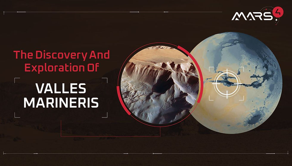
The Discovery And Exploration Of Valles Marineris
- Sep 9, 2022
- 2 min read
Updated: Sep 12, 2022

22:23:04 UTC, May 30, 1971, the probe Mariner 9 is launched from Cape Canaveral, Florida, USA, EARTH. 167 days and 398 million kilometers later, it reaches its goal and becomes the first spacecraft to enter another planet’s orbit: MARS.
On November 14, 1971 humanity is eagerly awaiting images of the terrain. They are not coming. The Red Planet is hiding: a sandstorm, one like never witnessed before, blows forcefully and kicks up Martian dust. The surface is obscure. No choice: the probe’s computer is re-programmed to delay the imaging until the weather settles down. A long wait begins. Finally, a couple of months later, on January 2, 1972, Mariner 9 opens eyes again. What it discovers is breathtaking: river beds, craters, extinct volcanoes and... a GIGANTIC CANYON!

The scar on the Martian surface dwarfs Earth’s "Grand" Canyon. With a size of 4,000 km long by 200 km wide, it would cover the United States from New York to Los Angeles. Its depth is evenly impressive: the height of the cliffs, from the edges to the bottom, reaches 10 km, higher than Mount Everest!
Mariner 9 shoots as much as it can until it finally runs out of energy and is abandoned to its fate: falling to the surface of Mars. During that year of hard work, it managed to transmit 7,329 images covering 85% of the planet. That is much more than all the previous flyby missions put together. Mariner 9 was, in fact, another “giant leap for mankind!”. In memory of its unprecedented achievements, the probe later gave its name to the mighty canyon, henceforth known as Valles Marineris.

And the exploration goes on. Much more advanced orbiters keep scrutinizing the surface from above. Imagine: while Mariner 9’s camera had a resolution of 1 km, NASA’s Mars Reconnaissance Orbiter’s HiRISE camera features a resolution of 20 cm, which makes it capable of spotting a small rock on the surface!
Recently the European Space Agency’s Mars Express paid a visit again. It cruised over Ius and Tithonium Chasmata in its western part of the canyon. By the means of its High-Resolution Stereo Camera (HRSC), it has produced realistic 3D terrain with natural colors. What can one see? Large stretches of black sand, possibly coming from the neighboring Tharsis volcanic region, mounds with their surfaces eroded by powerful winds, bumps that may have formed with liquid water... You see a harsh terrain that spans long along the equator! You see a fierce land whispering a diverse past and a rich history!
Should you explore there? Should you settle there? Probably not.
However, when someone asked mountaineer George Mallory why he would go and try to climb Mount Everest, he replied merely: “Because it’s there!”
You! Will you be a pioneer?
FIND IT ON MARS4:
East to West, on Mars4, Valles Marineris spans from Noctis Labyrinthus around land plot #61418 to Aurorae Chaos around land plot #62925.
More information about Valles Marineris:


the region stands as strong evidence that Mars has experienced significant environmental change, GeoGuessr preserving clues of an active and diverse past rather than a simple, barren one.